A Snowy Prelude to the Deep Freeze: Minneapolis Braces for Arctic Blast
A Snowy Prelude to the Deep Freeze
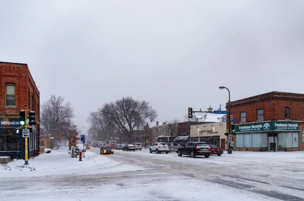
Minneapolis residents are waking up to a seasonable but active Wednesday as the region prepares for one of the most significant weather shifts in recent years. Today, January 21, 2026, marks the final day of relatively mild January temperatures before a historic arctic blast plunges the Twin Cities into a dangerous, multi-day deep freeze. Meteorologists are describing today as the calm before the storm, featuring light snowfall and gusty winds that serve as a transition into extreme winter conditions.
Morning: Flurries and Rising Temperatures
The day began with thick cloud cover and temperatures hovering around 16°F. As the morning progresses, light snow showers are expected to become more organized. Between 9:00 AM and 11:00 AM, the chance of precipitation rises significantly to over 55%, with temperatures slowly climbing toward 18°F. Commuters should be prepared for light, fluffy snow accumulation that could create slick spots on local roads and highways during the tail end of the morning rush. While accumulation will be light, the low temperatures mean that treated roads may still remain slippery.
Afternoon: Peak Temperatures and Gusty Winds
By midday, Minneapolis will reach its forecast high of approximately 22°F. While these temperatures are typical for late January, the afternoon will be defined by increasingly gusty conditions. West winds are expected to reach sustained speeds of 16 mph, with gusts potentially hitting up to 40 mph. These winds, combined with ongoing snow showers, may cause localized whiteout conditions and blowing snow, particularly in open areas and on elevated overpasses. Total snow accumulation for the day is expected to be manageable, likely totaling between 1 and 2 inches of dry, powdery snow.
Evening: The Arctic Descent Begins
As the sun sets, the seasonable portion of the week comes to an abrupt end. Temperatures will begin a steady decline, dropping to 16°F by 6:00 PM and reaching approximately 10°F by 11:00 PM. Skies will start to clear, transitioning from mostly cloudy to partly cloudy overnight. This clearing will allow remaining surface heat to escape, setting the stage for a frigid Thursday morning low of 2°F. Residents are advised that wind chills will begin to feel significantly sharper after midnight.
Warnings and What’s Ahead
The National Weather Service and local authorities have issued several notices that residents should take seriously as the day progresses:
- Blowing Snow Hazards: High wind gusts throughout the afternoon may reduce visibility suddenly. Travelers are urged to use headlights and maintain safe following distances.
- Extreme Cold Watch: This is in effect for the Twin Cities starting Thursday night. Forecasters predict this will be the coldest airmass to reach the area since 2019, with wind chills potentially plummeting to -45°F.
- Public Safety Prep: Several local agencies have already begun opening warming shelters and increasing bed capacity in anticipation of the life-threatening cold arriving later this week.
While today’s snow is a minor local nuisance, the true hazard lies in the incoming arctic air. Minneapolis residents are urged to use today to finalize winter preparations—check vehicle emergency kits, ensure pets have adequate shelter, and confirm that home heating systems are functioning before the mercury stays below zero for the foreseeable future.