Balmy Breezes for February: Minneapolis Nears Record Highs This Sunday
Unseasonable Warmth Dominates the Twin Cities
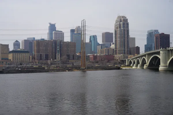
Minneapolis residents are waking up to a remarkably mild Sunday, February 15, 2026, as a surge of warm air continues to shatter traditional winter expectations. Following a record-breaking Valentine's Day, the spring-like trend is holding firm, providing a rare mid-winter reprieve for those tired of the standard Minnesota deep freeze. While the historical average high for mid-February typically hovers in the low 20s, today’s forecast suggests temperatures nearly 30 degrees above normal.
Morning: A Frosty and Foggy Start
Early risers should be cautious on the roads this morning. The National Weather Service has noted a Dense Fog Advisory for parts of the metro area as lingering moisture and warm air collide with the cooler overnight ground. Between 6:00 AM and 8:00 AM, temperatures will sit at their lowest point for the day, around 28 to 30 degrees Fahrenheit. There may be some scattered light snow flurries or frozen mist left over from the overnight hours, but these are expected to dissipate quickly as the sun rises. Visibility will improve by mid-morning as skies transition from cloudy to partly sunny.
Afternoon: Peak Warmth and Sunshine
The highlight of the day occurs during the afternoon hours, when Minneapolis is projected to hit a high near 52 degrees Fahrenheit. This unseasonable warmth is accompanied by a gentle western breeze of approximately 8 mph. The peak temperature window will occur between 2:00 PM and 4:00 PM. Residents can expect the following conditions during the heart of the day:
- 12:00 PM: 45 degrees, partly cloudy.
- 2:00 PM: 48 degrees, mostly sunny.
- 4:00 PM: 51 degrees, clear skies.
The low 7% chance of precipitation means outdoor plans are safe from rain or snow, though the rapid thaw is likely to create slushy conditions on side streets and walking paths.
Evening: Mild Conditions for Nightly Commutes
As the sun sets around 5:38 PM, the cooling process will be gradual. By 7:00 PM, the thermometer will still read a comfortable 43 degrees, eventually settling into the low 40s by late evening. This is significantly warmer than the usual sub-zero wind chills often experienced this time of year. However, as temperatures hover just above freezing, the primary concern shifts to melting ice. Authorities are warning citizens to stay off local ponds and lakes, as the recent warmth has made ice conditions dangerously thin and unpredictable across the region.
Looking Ahead
While today offers a pleasant break, the forecast suggests this warm spell will peak early in the week before a more seasonal system arrives midweek. For now, Minneapolis remains in a temporary spring bubble, making it a perfect day for a walk around the chain of lakes—just stay on the paved trails.