Biting Northwest Winds and Grey Skies: Minneapolis Braces for a Chilly Friday
A Cold Start to the Weekend
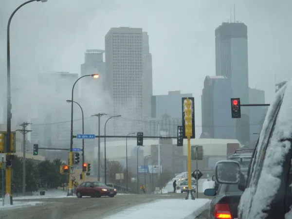
Residents of Minneapolis should prepare for a transition in the weather as Friday, February 6, 2026, brings a mix of stubborn cloud cover and a sharp drop in perceived temperatures. While the region has recently enjoyed a brief reprieve with temperatures hovering near or above the freezing mark, a shift in wind patterns today will remind Twin Cities locals that winter still has a firm grip on the Bold North. The day is expected to be defined by a persistent grey ceiling and a biting breeze that will make outdoor activities a challenge for those not properly layered.
Morning through Evening Forecast
The day begins with thick, mostly cloudy skies that will dominate the morning hours. Early commuters can expect temperatures to start in the low teens, though the lack of direct sunlight will keep the morning air feeling stagnant and sharp. As we move into the afternoon, there may be brief breaks in the clouds, but the mercury is expected to top out at a high of approximately 36°F. However, do not let that number deceive you; the actual conditions will feel significantly more frigid due to atmospheric factors.
- Morning: Overcast with a low probability of flurries and temperatures near 14°F.
- Afternoon: Highs reaching 36°F under mostly cloudy skies with occasional sun breaks.
- Evening: Skies are projected to clear significantly after sunset, but this will allow heat to escape the atmosphere, causing temperatures to plummet to an overnight low of 8°F.
Wind Chill and Precipitation Alerts
The primary concern for today is a crisp northwest wind that will sweep through the metro area. These gusts are expected to be strong enough to drive the "feels like" temperature well below zero during the early morning and late evening hours. While the chance of measurable snowfall remains low at around 20%, light flurries or a brief wintry mix cannot be ruled out during the midday transition. These scattered flurries are not expected to cause major travel disruptions, but visibility could be briefly reduced on major highways like I-35W and I-94.
Precautionary Measures
Given the sub-zero wind chills expected tonight, health officials recommend limiting time outdoors after dark. The sharp drop to 8°F, combined with the clearing skies, means that frostbite could become a concern for exposed skin within thirty minutes of exposure. Ensure that pets are brought indoors and that vehicles are equipped with standard winter emergency kits. As we look ahead to the weekend, a slight warming trend is anticipated, but for today, the northwest wind is the undisputed lead story in the Minneapolis weather report.