Chilly Flurries and Blowing Snow: A Brisk Wednesday for Minneapolis
Winter Chill Holds Steady as Snow Showers Return
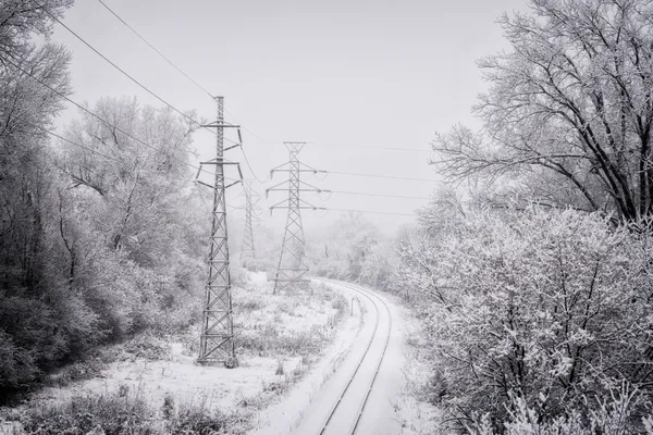
Minneapolis is waking up to a characteristically frosty February morning this Wednesday, February 4, 2026. As the city settles into the mid-week stretch, residents should prepare for a combination of biting cold, persistent cloud cover, and the arrival of scattered snow showers that could complicate travel through the evening hours.
Morning: A Frigid Start
The day begins under heavy cloud cover with temperatures hovering at a sharp 6°F. With humidity levels near 77%, the air carries a damp, penetrating cold that makes the early morning commute feel significantly harsher. While the chance of precipitation is low during the early morning hours, the presence of an arctic air mass is maintaining a steady chill across the Twin Cities. Visibility is currently clear, but north winds starting at roughly 11 mph are creating a wind chill factor that necessitates heavy winter gear for anyone heading outdoors before sunrise at 7:28 AM.
Afternoon: Slight Warming and Increasing Flurries
By midday, Minneapolis will see a modest climb in mercury, with temperatures reaching a high near 30°F. Despite this slight relief from the morning lows, the sky will remain mostly cloudy to partly sunny. The National Weather Service has indicated that a frontal system moving through the Northern Plains will begin to influence local conditions by the early afternoon. Residents should expect the first signs of scattered flurries to emerge between 1:00 PM and 3:00 PM. While accumulation is expected to be light, the combination of new snow and existing ice on the ground may lead to slick spots on secondary roads.
Evening and Night: Visibility Alerts
The primary weather concern for today arrives during the evening hours. Forecasts predict a 20% to 35% chance of snow showers continuing well into the night. Of particular note for evening commuters is a warning regarding blowing snow. Winds are expected to remain steady between 8 and 12 mph, which, when combined with falling snow, may significantly impact visibility on highways and open stretches of road. Temperatures will begin their descent back toward a low of approximately 10°F to 15°F. The National Weather Service has categorized the region with a 'slight' hazard rating for heavier snow pockets, particularly for those traveling toward the Great Lakes region later in the week.
- Temperature Range: 6°F to 30°F
- Wind Conditions: North at 8-12 mph with gusts possible
- Precipitation: Scattered snow showers (20-35% chance)
- Commuter Alert: Potential for reduced visibility due to blowing snow
As sunset approaches at 5:25 PM, the city is encouraged to monitor local road conditions. While no major accumulations are expected today, the mixture of low temperatures and wind-driven snow requires cautious driving and continued attention to changing weather patterns.