Mist, Flurries, and a Thaw: Minneapolis Weather for February 5
A Soft Start to the Morning
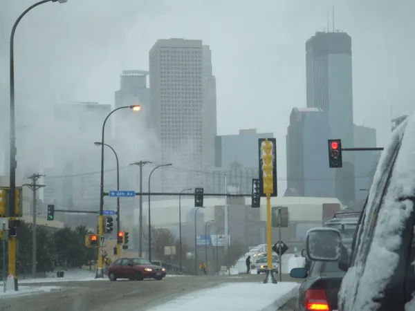
Minneapolis residents waking up this Thursday, February 5, 2026, will find the city draped in a layer of mist and heavy cloud cover. As of the early morning hours, temperatures are holding steady at 25°F, though the wind chill makes it feel closer to a biting 14°F. Humidity is high at 83%, contributing to the damp, gray atmosphere that often defines early February in the Twin Cities. Commuters should be prepared for patchy mist or light flurries during the early rush hour, which may create minor visibility issues and slick spots on less-traveled side streets.
Afternoon Warming Trend
As we move into the afternoon, the thick morning clouds may show occasional breaks, though the general trend remains overcast. The significant news for today is the warm spell expanding across the northern Plains into the Upper Midwest. Minneapolis is expected to reach a high of approximately 36°F to 37°F, which is notably above the seasonal average. Some localized forecasts even suggest we could nudge closer to the 40-degree mark if the cloud deck thins sufficiently. Southwest winds will remain relatively calm, peaking at around 10 mph, which will help the afternoon feel significantly more comfortable than the frigid starts experienced earlier in the week.
Evening Rain-Snow Mix
The stability of the afternoon will give way to a more active weather pattern as evening approaches. By late tonight, a weather system tracking through the Great Lakes region will bring a 35% chance of precipitation to Hennepin County. Unlike the dry, powdery snow typical of mid-winter, tonight’s system is expected to manifest as a messy mix of rain and snow. As temperatures hover near the freezing point, the moisture will likely transition between light snow showers and a cold rain. This wintry mix is expected to persist through the overnight hours, potentially leaving a thin, slushy coating on surfaces by Friday morning.
Wind and Travel Outlook
While no severe weather warnings or major wind advisories are currently in effect for the Minneapolis area, the National Weather Service indicates a slight risk for heavier snow further into the Great Lakes region. Locally, we can expect southwest winds to remain manageable, though gusts could pick up slightly after midnight as a new front approaches. Residents are encouraged to stay mindful of the changing precipitation types tonight; bridge decks and overpasses will be the first to freeze if temperatures dip faster than expected during the transition. Overall, Thursday offers a brief reprieve from deep-freeze conditions before colder air is slated to return by the end of the work week.