Snowy Clipper Breaks the Ten-Day Freeze as Temperatures Climb Toward 30
A Welcome Shift in the Winter Pattern
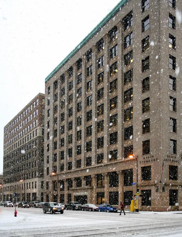
Minneapolis residents are waking up to a significant change in the weather this Sunday, February 1, 2026. After enduring a brutal ten-day stretch where temperatures failed to climb above the 20-degree mark, a fast-moving clipper system is finally breaking the deep freeze. While the system brings the first measurable snowfall the Twin Cities has seen in nearly two weeks, it also carries a surge of relatively balmy air that will push temperatures to their highest levels since mid-January.
Morning: Fresh Powder and the Clipper’s Arrival
The morning hours will see the brunt of the weather activity as a clipper system moves quickly across the state. Snow began falling overnight and is expected to continue through mid-Sunday morning in the Twin Cities metro area. Meteorologists with the National Weather Service expect total accumulations to land between 1.5 and 2.5 inches for much of the region, with the heaviest bands likely forming along and north of the I-94 corridor. Commuters and early risers should prepare for slippery road surfaces, though the snow is expected to be light and powdery due to the lingering cold in the upper atmosphere.
Afternoon: Rising Temperatures and Blustery Winds
By early afternoon, the steady snowfall will begin to taper off, likely transitioning to scattered flurries by 2:00 PM. However, the clearing skies will be accompanied by increasing winds. Gusts are forecast to reach between 25 and 30 mph, which could create localized blowing snow and sudden reductions in visibility, particularly in open areas. Despite the wind, the big story will be the mercury. Temperatures are expected to climb to a high of 30 degrees Fahrenheit in Minneapolis—the first time the city has seen above-average temperatures since January 16. This afternoon peak will feel remarkably mild compared to the subzero lows of the past week.
Evening and Weekly Outlook
As the sun sets, the wind will begin to die down, and the clipper system will move toward the Great Lakes. The evening will remain cloudy but stable, with temperatures hovering in the low 20s. Looking ahead, this Sunday warm-up is just a preview of a more substantial shift. While Monday and Tuesday will see a brief dip back into the teens, a significant warming trend is expected by mid-week. By Thursday, temperatures may reach the upper 30s or even 40 degrees, potentially starting a period of snowmelt across the metro area.
Summary of Forecast and Safety Alerts
- High Temperature: 30°F (Metro area)
- Low Temperature: 11°F (Morning low)
- Snowfall: 1.5 to 2.5 inches expected through mid-morning.
- Wind Alerts: Gusts up to 30 mph; blowing snow likely in the afternoon.
- Travel Notice: Slippery roads and reduced visibility expected; exercise caution on I-94 and I-35.