The Great February Thaw: Rain and Gusty Winds Target the Twin Cities
A Surprisingly Mild Start to Tuesday
Minneapolis residents waking up this Tuesday, February 17, 2026, might find the weather feels more like late March than the heart of winter. After a cool morning start in the mid-30s, the Twin Cities are poised for a significant mid-February thaw. We are looking at an unseasonably warm afternoon with temperatures expected to climb to a high of 52°F. While early morning hours may feature lingering clouds and even a few stray snow showers from a passing overnight system, the primary story today is the rapid rise in temperature and the transition to a wet, windy weather pattern.
Afternoon Warmth and Rising Rain Chances
As we move into the midday hours, the city will experience a noticeable shift. The light west-southwest breeze will give way to a stronger east-southeast wind, signaling the arrival of a larger weather system. While the first half of the day will remain mostly dry with occasional sunny breaks, residents should not let the 50-degree mercury reading fool them. Forecast models indicate that rain chances will begin to ramp up significantly after 1:00 PM. The melting of existing snowpack combined with the incoming warmth is expected to create messy conditions on local side streets, as slush and standing water become prevalent.
Evening Alert: Heavy Rain and Gusty Winds
The weather will take a more turbulent turn as the sun sets. By this evening, the probability of precipitation jumps to 75%. This is not just a light drizzle; Minneapolis is bracing for a soaking. Key details for the evening and overnight hours include:
- Precipitation: New rainfall amounts between a quarter and a half-inch are possible by Wednesday morning.
- Wind Hazards: Winds are expected to intensify, with gusts reaching up to 30 mph from the east-southeast.
- Temperature: The overnight low will hover around 36°F, keeping the precipitation entirely as rain for the metro area, though regions further north may see a rain-snow mix.
Commuter Safety and Local Impacts
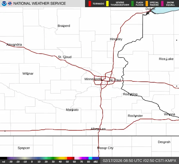
As the lead editor at minneapolis.news, we urge commuters to exercise caution during the evening rush hour. The combination of heavy rain, gusty winds, and rapid snowmelt will likely lead to poor visibility and hydroplaning risks. Additionally, the rapid thaw often exposes deep potholes and creates soft shoulders on rural roads. Pedestrians should be mindful of 'slush-splashing' near intersections. While no official severe weather warnings are currently in effect, the National Weather Service Twin Cities indicates that the strongest precipitation will occur between 9:00 PM tonight and early Wednesday morning. Keep your umbrellas handy and secure any loose outdoor furniture before the evening gusts arrive.